The ability to feed GIS data into gaming engines like Unreal holds significant promise. This Python script essentially democratizes the process, allowing urban planners, game developers, and GIS enthusiasts to take data-driven insights and turn them into dynamic, interactive, and visually stunning urban simulations.
The Workflow Breakdown:
Data Ingestion:
The script initiates by reading in vector-based land use information and road networks, typically sourced from GIS data formats such as Shapefiles or GeoJSON.
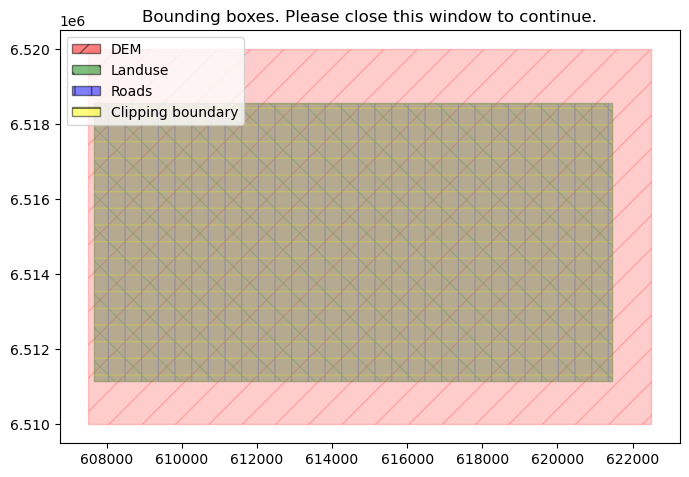
Precision Clipping:
To make the process efficient and specific, the script offers the ability to clip the dataset to a user-defined boundary, thus focusing only on regions of interest.
Road Buffering:
Roads play a pivotal role in shaping urban landscapes. Recognizing this, the script buffers road networks, carving out a distinct zone around each road to authentically capture its spatial influence.
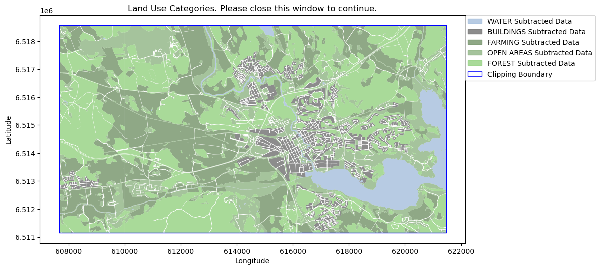
Interactive Visualization:
Before diving deeper, a visualization stage offers a glance into how land uses are distributed, how roads intersect them, and other spatial details.
Vector to Raster Conversion:
One of the core steps is the transformation of vector land use data into raster format. This raster representation aligns better with simulation models and ensures compatibility with other raster datasets.
Raster Enhancement:
Post-conversion, the raster data is enhanced by blurring, which facilitates smooth transitions between different land use categories. This ensures the rendered environment in Unreal looks natural and cohesive.
Tiling for Efficiency:
The final step involves segmenting the raster data into manageable tiles. These are optimized for Unreal Engine’s World Composition feature, ensuring fluid loading and realistic rendering.
This work is a part of the Digital Twins City Center at Chalmers University of Technology
Check it out on github
Check it out on github